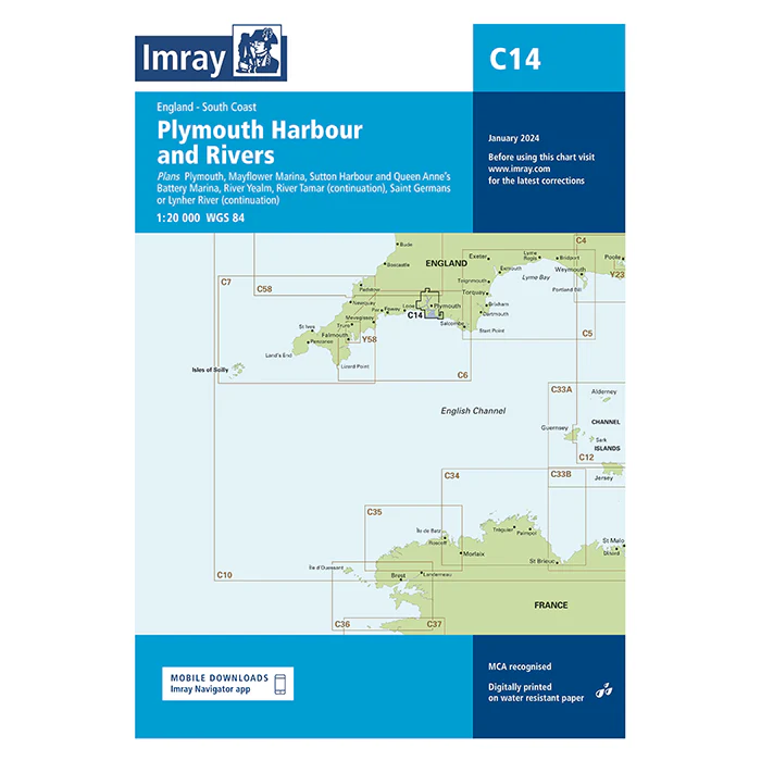
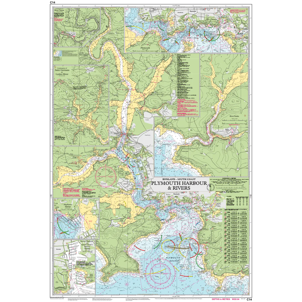
Imray Chart C14: Plymouth Harbour and Rivers
Plans included
- Plymouth (1 : 12,500)
- Mayflower Marina (1 : 4,500)
- Sutton Harbour and Queen Anne’s Battery Marina (1 : 4,500)
- River Yealm (1 : 12,500)
- Continuation of Saint Germans or Lynher River (1 : 20,000)
- Continuation of River Tamar (1 : 20,000)
This edition includes the latest official Digital combined with additional information sourced from Imray's network to make it ideal for small craft. It includes the latest official bathymetric surveys. There has been general updating throughout.
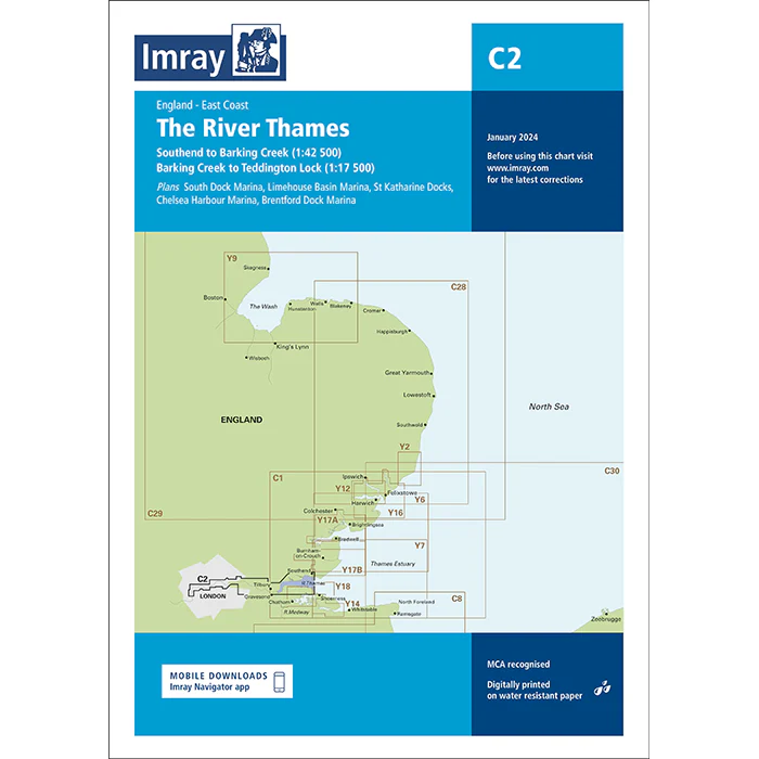
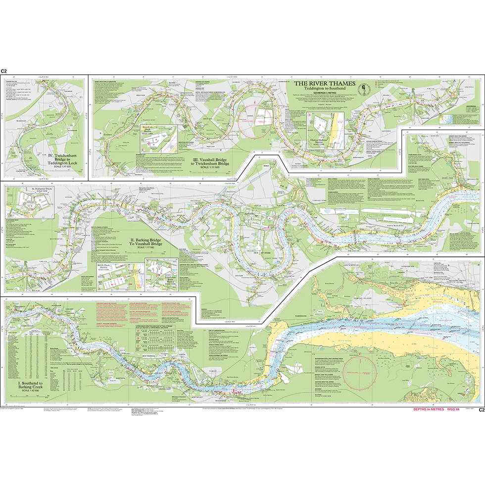
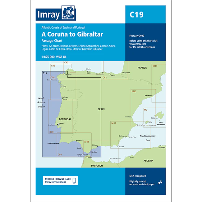
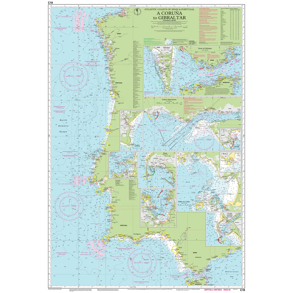
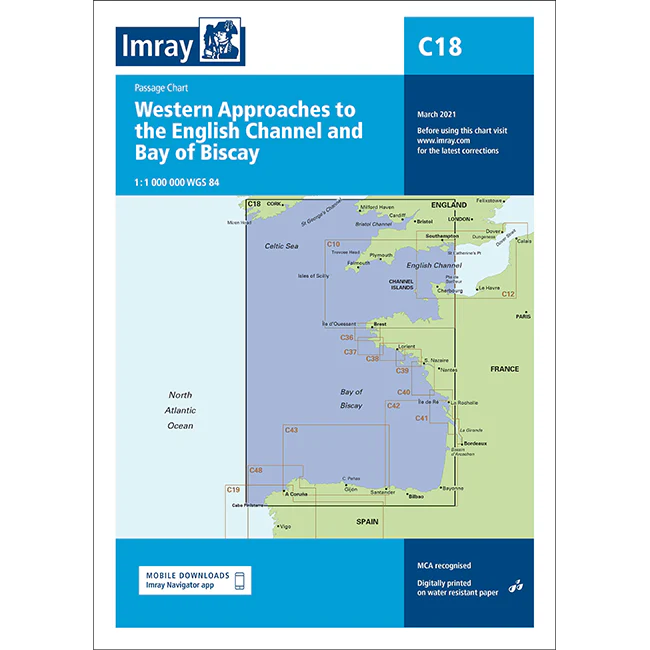
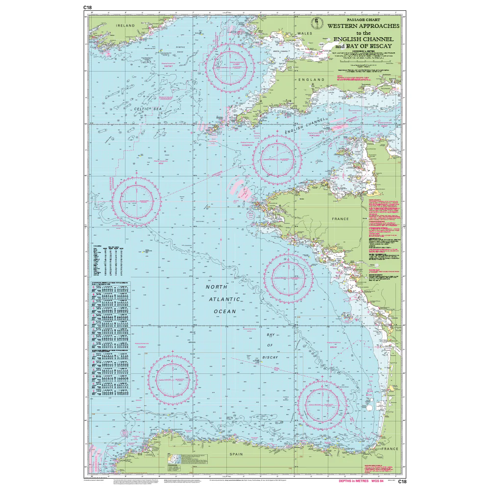
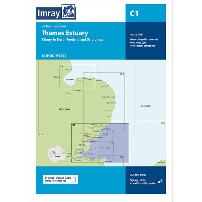
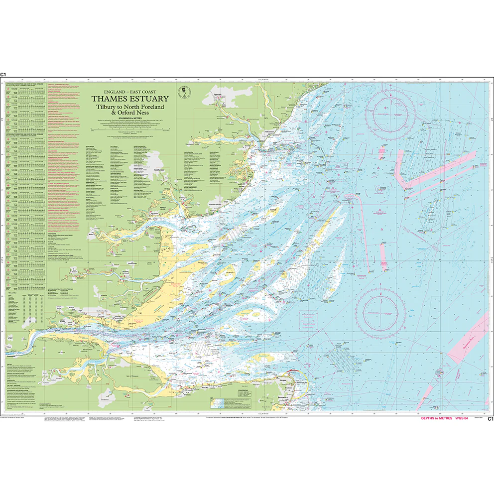
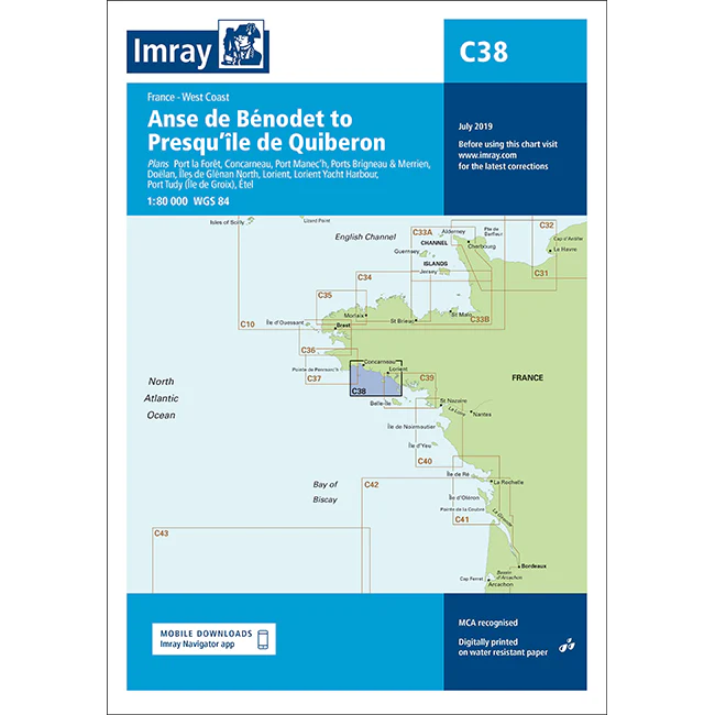
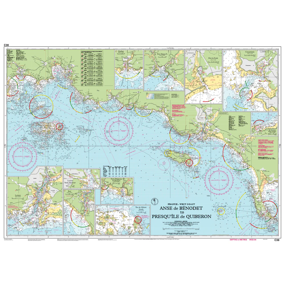
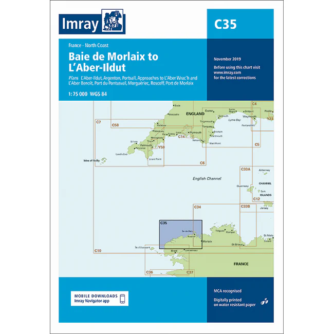
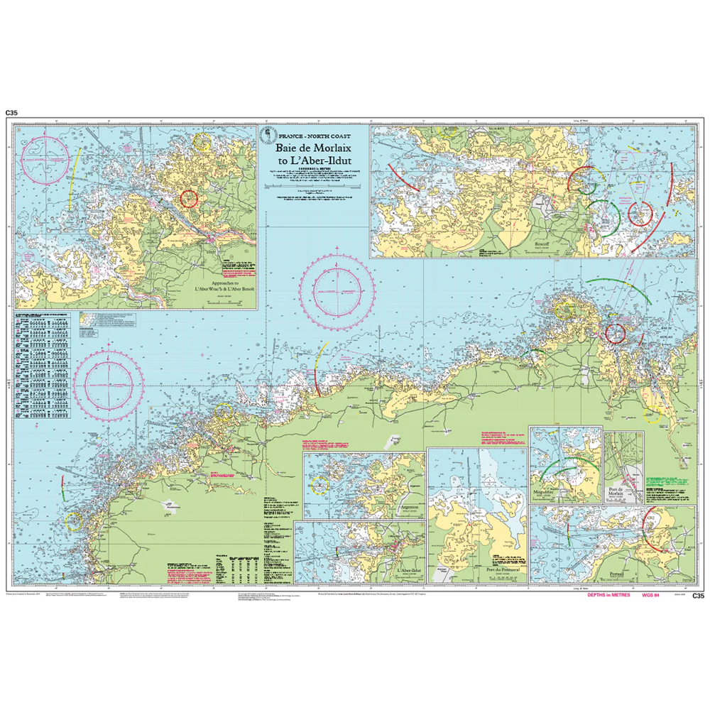
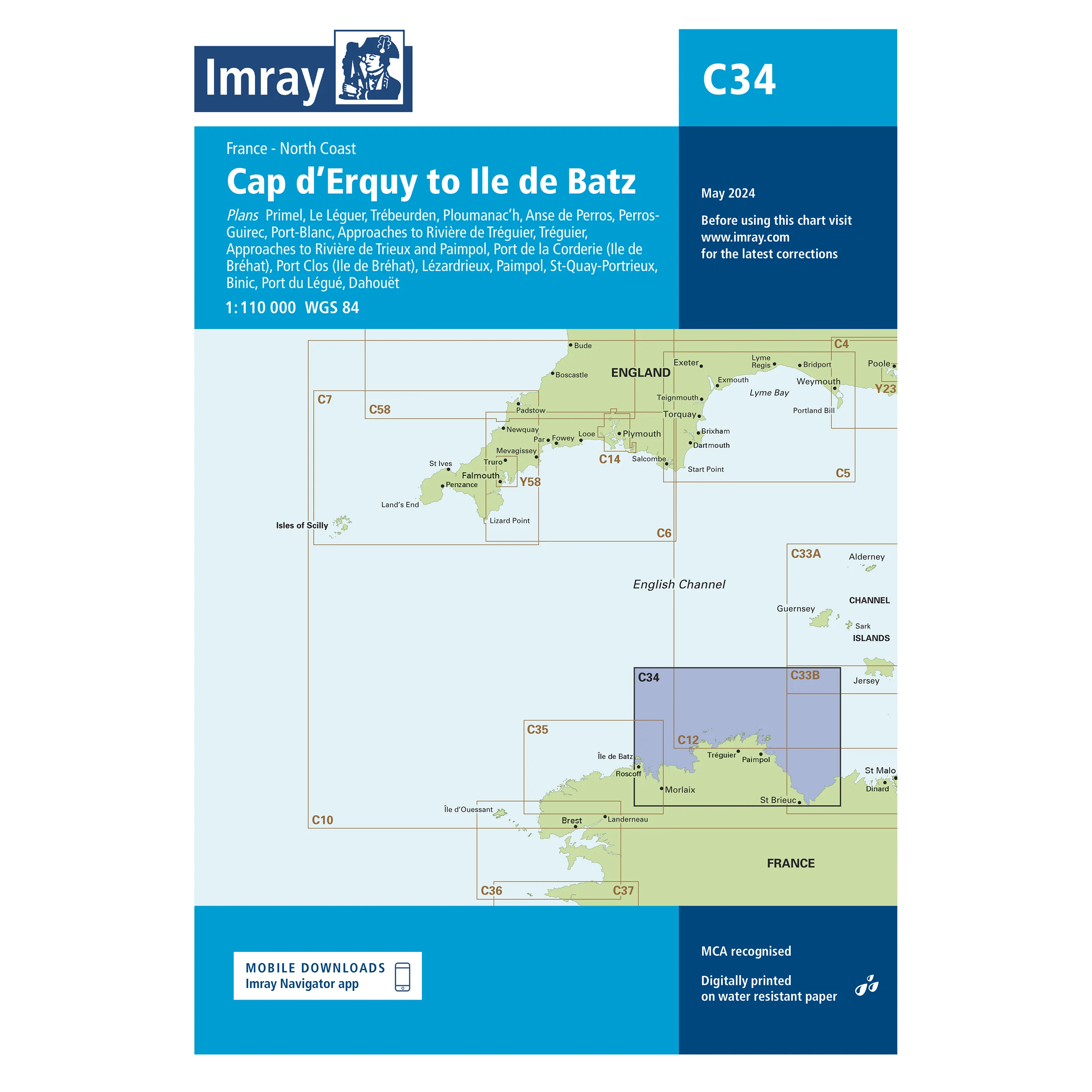
About Imray C Series Charts
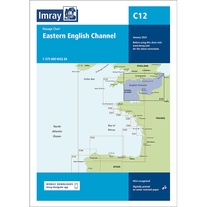
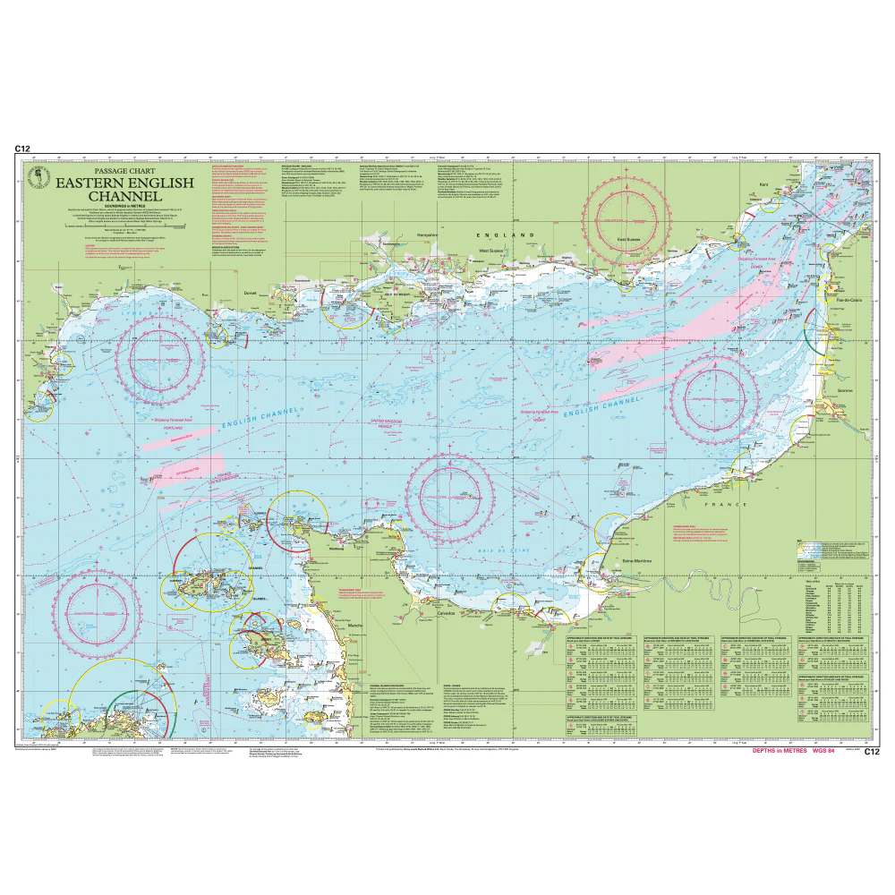
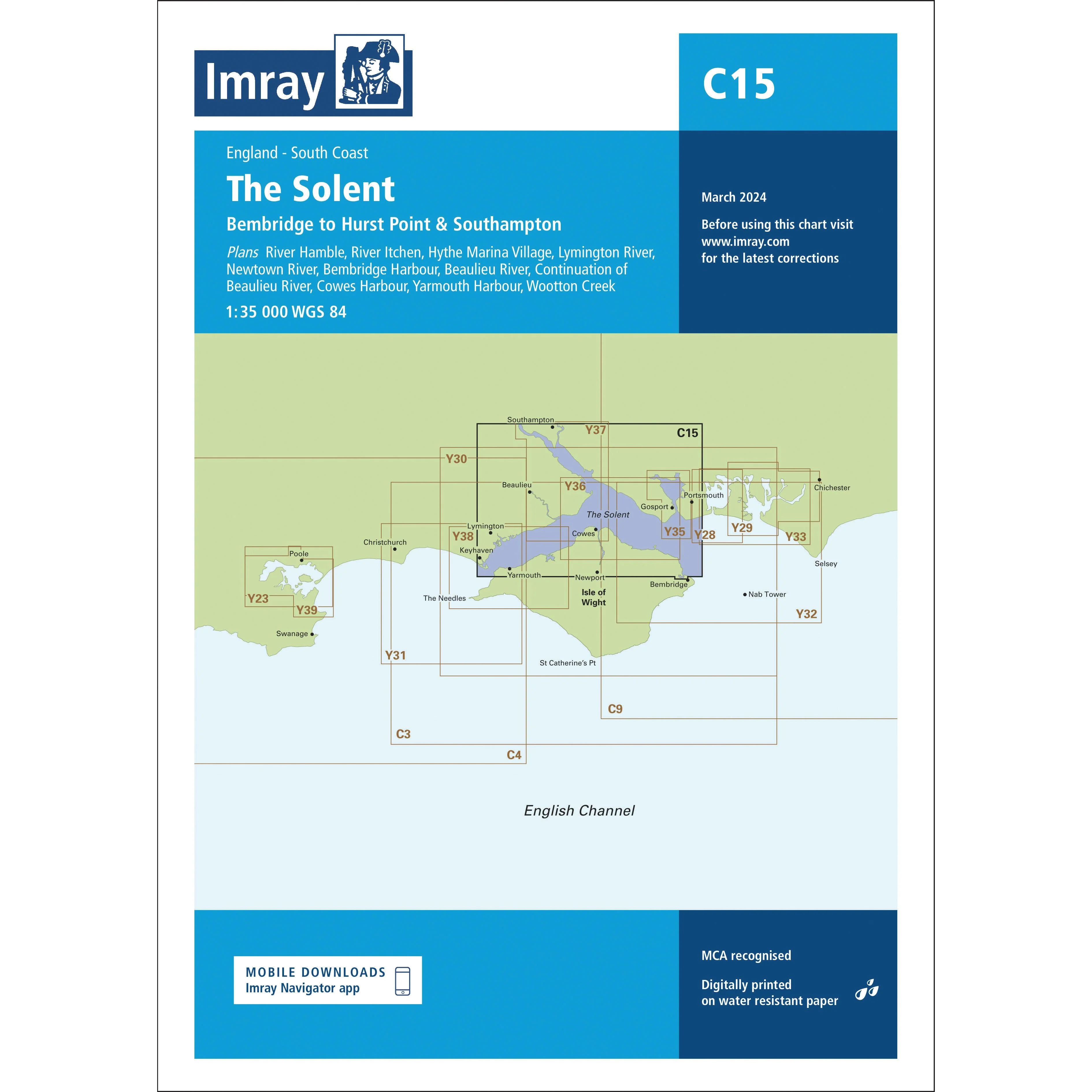
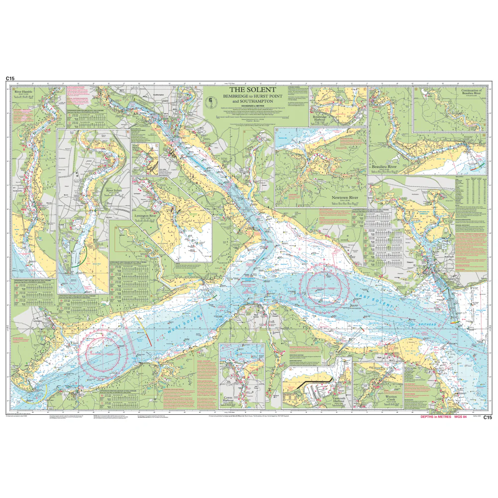
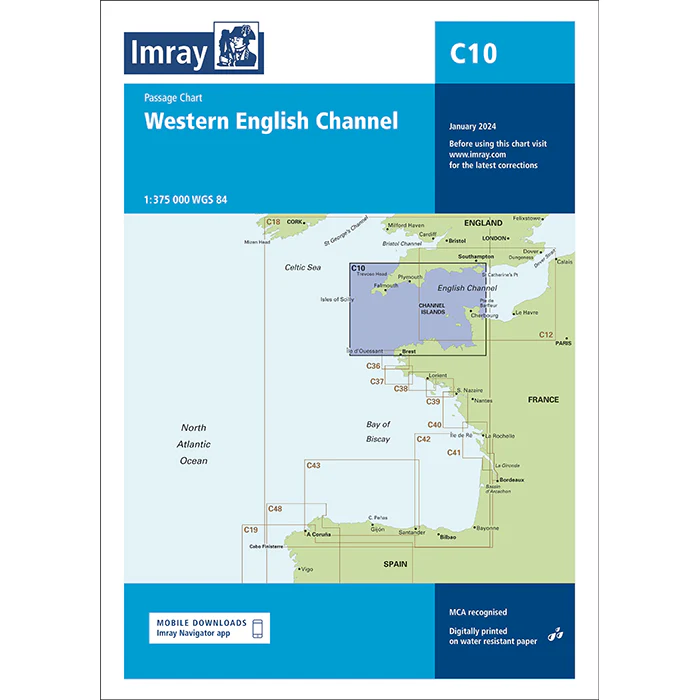
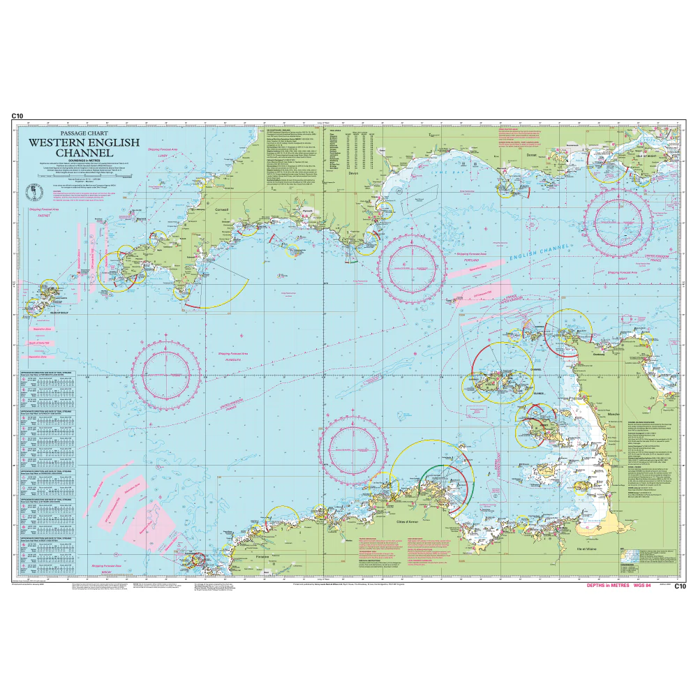
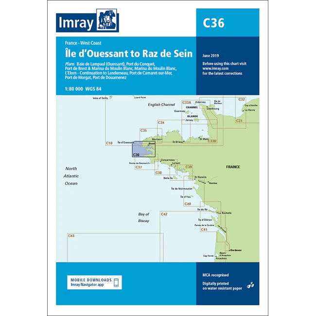
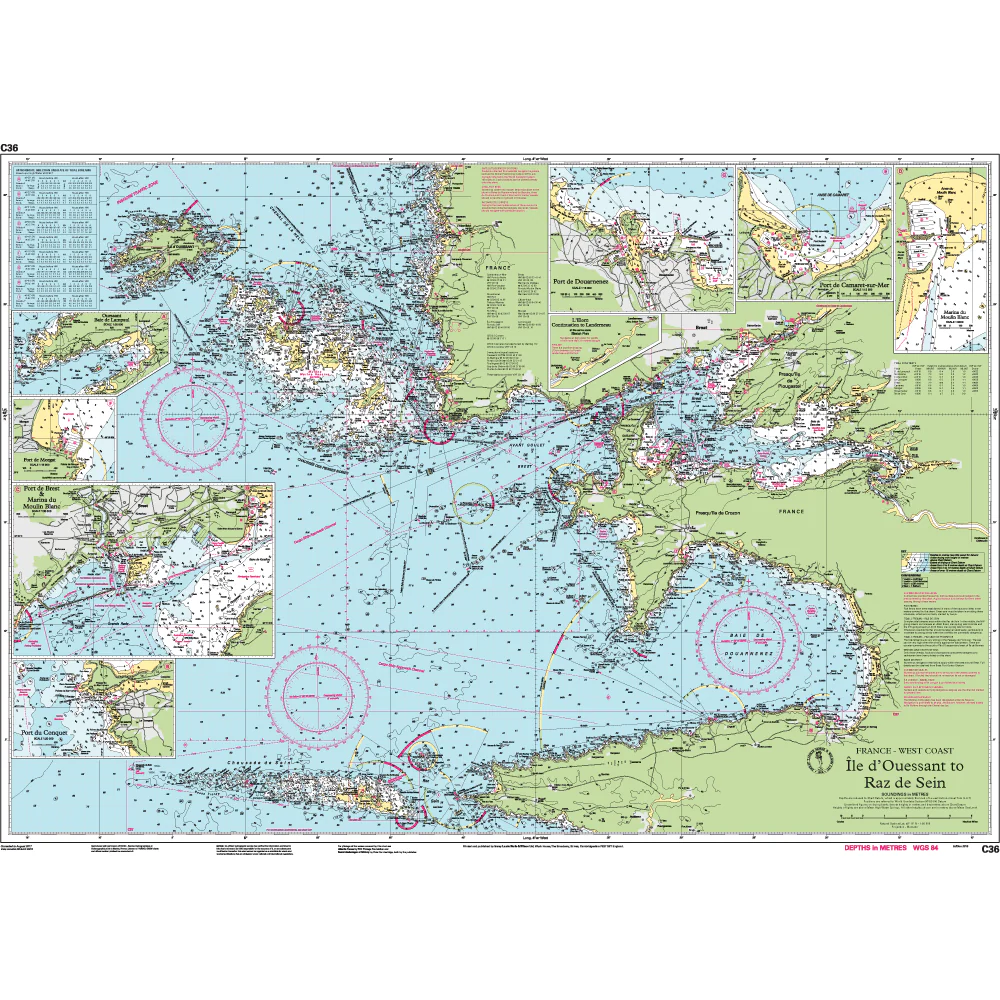
Imray C Series charts cover cruising grounds around Britain, Ireland, and Northwest Europe. They're scaled for planning and passage-making: larger than harbour charts, but detailed enough for inshore work. Each chart unfolds to 787 × 1,118 mm, giving you room to see the bigger picture without carrying dozens of sheets. They're printed digitally on Pretex, a synthetic paper that tolerates salt spray and damp conditions. Charts are supplied folded to A4 and packed in a durable plastic wallet. If you need unfolded charts, just get in touch. We can arrange that with a 7-10 day lead time.
These are working charts for anyone who navigates seriously: cruising crews, motor boaters, fishing vessels, and commercial operators alike. Imray C Series charts are recognised by the Maritime and Coastguard Agency for use on coded and fishing vessels up to 24 metres. Whether you're plotting a coastal passage, planning next season's cruise, or keeping current charts to hand, C charts give you what you need at a practical scale. Imray publishes other chart ranges for different waters: M Series for the Mediterranean, G for Greek waters, Y for UK harbours and estuaries, A, B, D and E (Imray-Iolaire) for the Atlantic and Caribbean, plus chart packs covering key cruising areas.
About Imray
Imray has been publishing nautical information for recreational and professional mariners since the mid-18th century. Originally a family business, the company retains continuity through generations of maritime knowledge. Today, Imray is part of FB Imray, a joint venture with freytag & berndt (Austrian cartographic specialists). This has allowed them to combine traditional expertise with modern production methods.
Imray is recognised by the Maritime and Coastguard Agency as a chart producer. Their portfolio extends beyond paper charts to include pilot books, cruising guides, almanacs, and navigation handbooks.
More Images

Imray Chart C14: Plymouth Harbour and Rivers
Plans included
- Plymouth (1 : 12,500)
- Mayflower Marina (1 : 4,500)
- Sutton Harbour and Queen Anne’s Battery Marina (1 : 4,500)
- River Yealm (1 : 12,500)
- Continuation of Saint Germans or Lynher River (1 : 20,000)
- Continuation of River Tamar (1 : 20,000)
This edition includes the latest official Digital combined with additional information sourced from Imray's network to make it ideal for small craft. It includes the latest official bathymetric surveys. There has been general updating throughout.
About Imray C Series Charts
Imray C Series charts cover cruising grounds around Britain, Ireland, and Northwest Europe. They're scaled for planning and passage-making: larger than harbour charts, but detailed enough for inshore work. Each chart unfolds to 787 × 1,118 mm, giving you room to see the bigger picture without carrying dozens of sheets. They're printed digitally on Pretex, a synthetic paper that tolerates salt spray and damp conditions. Charts are supplied folded to A4 and packed in a durable plastic wallet. If you need unfolded charts, just get in touch. We can arrange that with a 7-10 day lead time.
These are working charts for anyone who navigates seriously: cruising crews, motor boaters, fishing vessels, and commercial operators alike. Imray C Series charts are recognised by the Maritime and Coastguard Agency for use on coded and fishing vessels up to 24 metres. Whether you're plotting a coastal passage, planning next season's cruise, or keeping current charts to hand, C charts give you what you need at a practical scale. Imray publishes other chart ranges for different waters: M Series for the Mediterranean, G for Greek waters, Y for UK harbours and estuaries, A, B, D and E (Imray-Iolaire) for the Atlantic and Caribbean, plus chart packs covering key cruising areas.
About Imray
Imray has been publishing nautical information for recreational and professional mariners since the mid-18th century. Originally a family business, the company retains continuity through generations of maritime knowledge. Today, Imray is part of FB Imray, a joint venture with freytag & berndt (Austrian cartographic specialists). This has allowed them to combine traditional expertise with modern production methods.
Imray is recognised by the Maritime and Coastguard Agency as a chart producer. Their portfolio extends beyond paper charts to include pilot books, cruising guides, almanacs, and navigation handbooks.
Product Information
Product Information
Shipping & Returns
Shipping & Returns
Description
Plans included
- Plymouth (1 : 12,500)
- Mayflower Marina (1 : 4,500)
- Sutton Harbour and Queen Anne’s Battery Marina (1 : 4,500)
- River Yealm (1 : 12,500)
- Continuation of Saint Germans or Lynher River (1 : 20,000)
- Continuation of River Tamar (1 : 20,000)
This edition includes the latest official Digital combined with additional information sourced from Imray's network to make it ideal for small craft. It includes the latest official bathymetric surveys. There has been general updating throughout.
About Imray C Series Charts
Imray C Series charts cover cruising grounds around Britain, Ireland, and Northwest Europe. They're scaled for planning and passage-making: larger than harbour charts, but detailed enough for inshore work. Each chart unfolds to 787 × 1,118 mm, giving you room to see the bigger picture without carrying dozens of sheets. They're printed digitally on Pretex, a synthetic paper that tolerates salt spray and damp conditions. Charts are supplied folded to A4 and packed in a durable plastic wallet. If you need unfolded charts, just get in touch. We can arrange that with a 7-10 day lead time.
These are working charts for anyone who navigates seriously: cruising crews, motor boaters, fishing vessels, and commercial operators alike. Imray C Series charts are recognised by the Maritime and Coastguard Agency for use on coded and fishing vessels up to 24 metres. Whether you're plotting a coastal passage, planning next season's cruise, or keeping current charts to hand, C charts give you what you need at a practical scale. Imray publishes other chart ranges for different waters: M Series for the Mediterranean, G for Greek waters, Y for UK harbours and estuaries, A, B, D and E (Imray-Iolaire) for the Atlantic and Caribbean, plus chart packs covering key cruising areas.
About Imray
Imray has been publishing nautical information for recreational and professional mariners since the mid-18th century. Originally a family business, the company retains continuity through generations of maritime knowledge. Today, Imray is part of FB Imray, a joint venture with freytag & berndt (Austrian cartographic specialists). This has allowed them to combine traditional expertise with modern production methods.
Imray is recognised by the Maritime and Coastguard Agency as a chart producer. Their portfolio extends beyond paper charts to include pilot books, cruising guides, almanacs, and navigation handbooks.