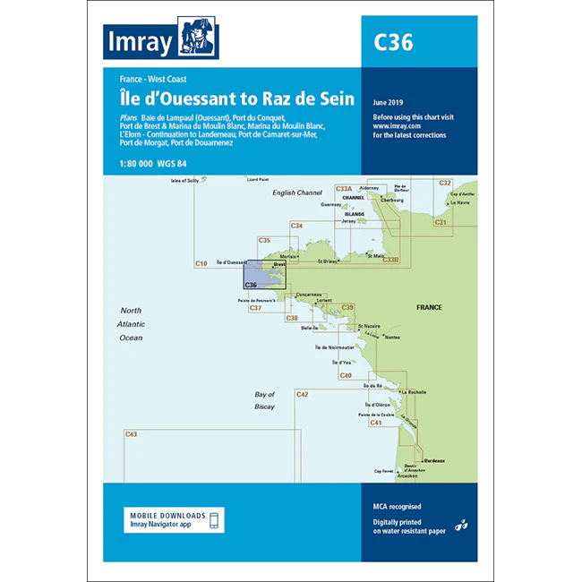
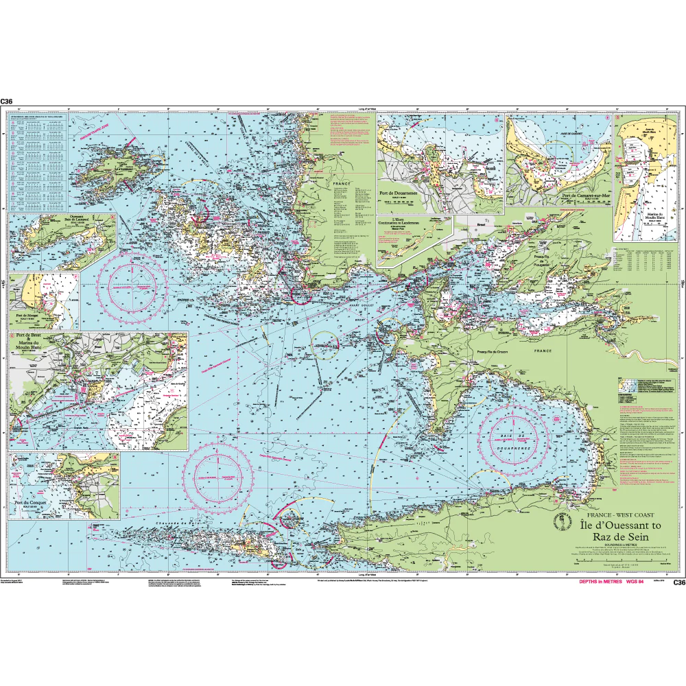
Imray Chart C36: Île d’Ouessant to Raz de Seine
Plans included
- Baie de Lampaul (Ouessant) (1 : 30,000)
- Port du Conquet (1 : 20,000)
- Port de Brest & Marina du Moulin Blanc (1 : 30,000)
- Marina du Moulin Blanc (1 : 9,000)
- L’Elorn – Continuation to Landerneau (1 : 80,000)
- Port de Camaret-sur-Mer (1 : 12,500)
- Port de Morgat (1 : 15,000)
- Port de Douarnenez (1 : 15,000)
On this edition the chart specification has been improved to show coloured light flashes. Depths have been updated from the latest available surveys. There has been general updating throughout.
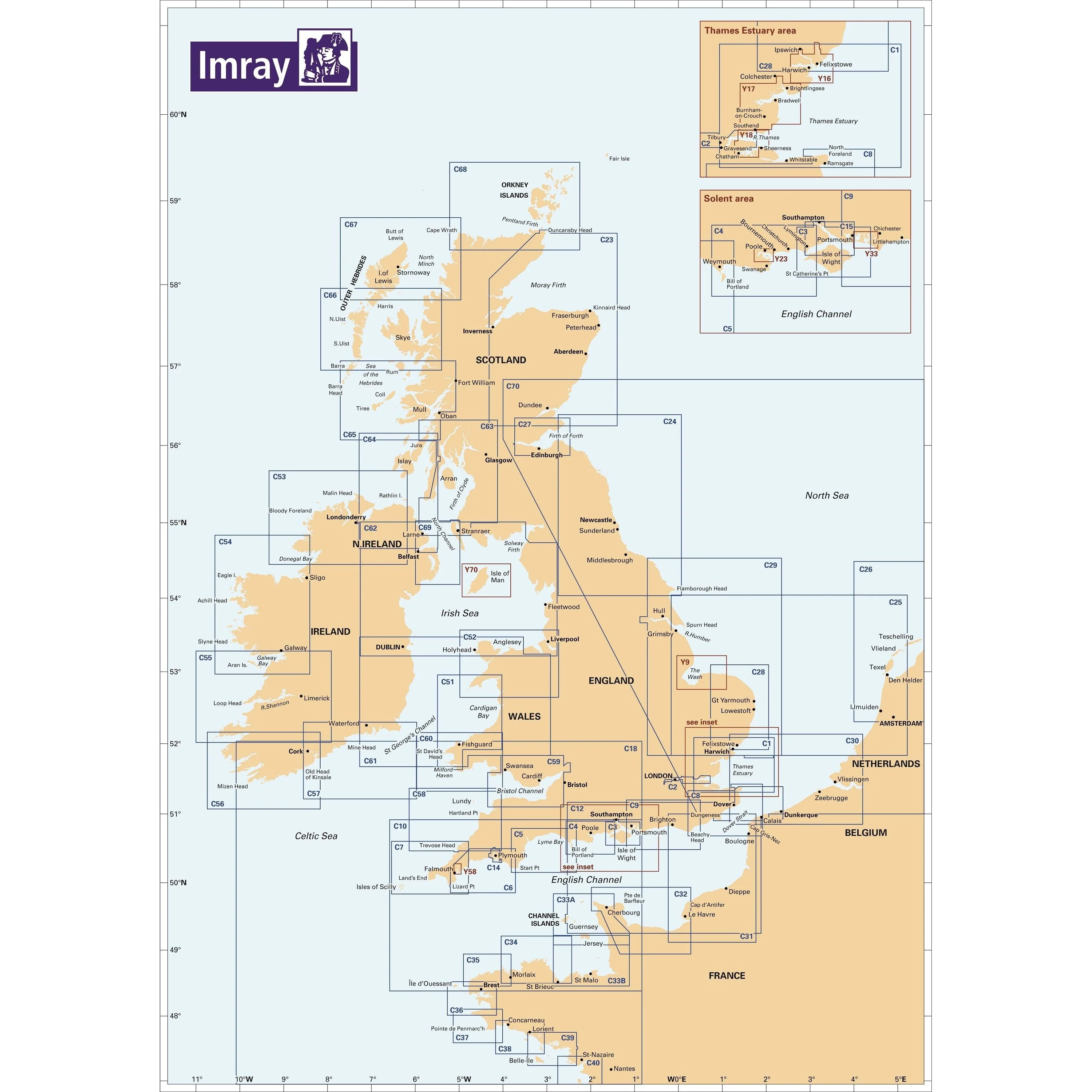
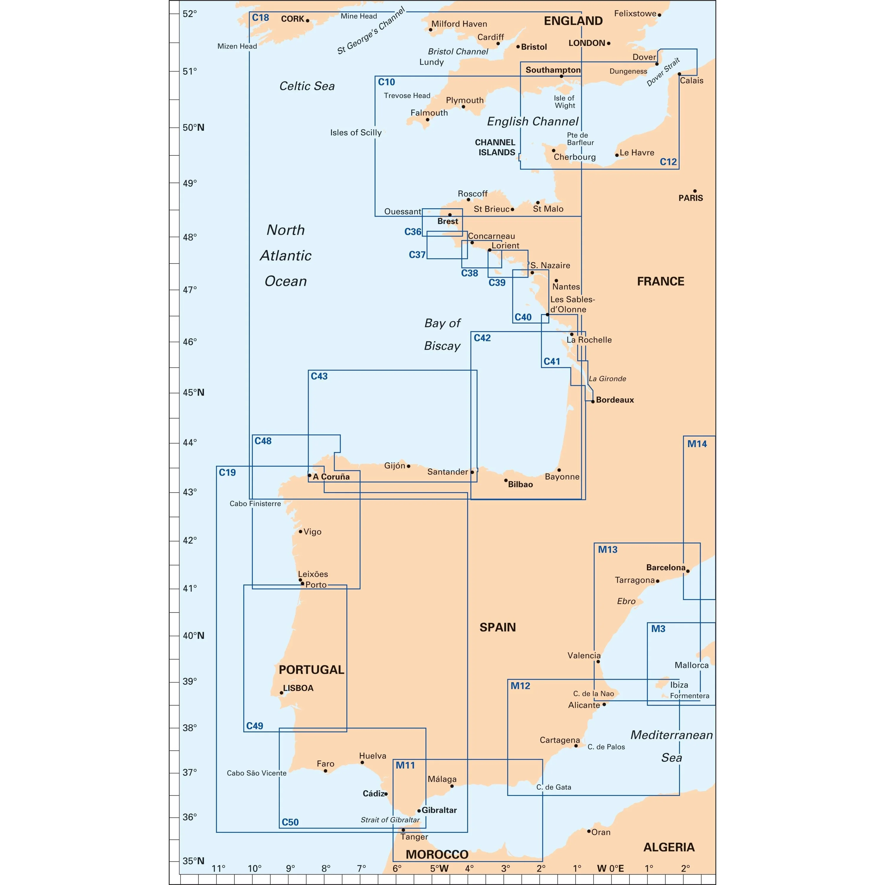
About Imray C Series Charts
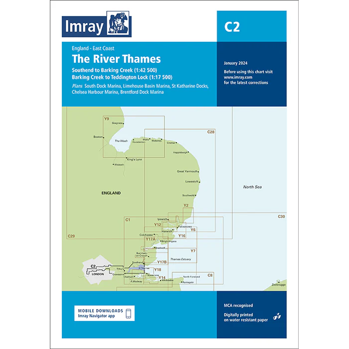
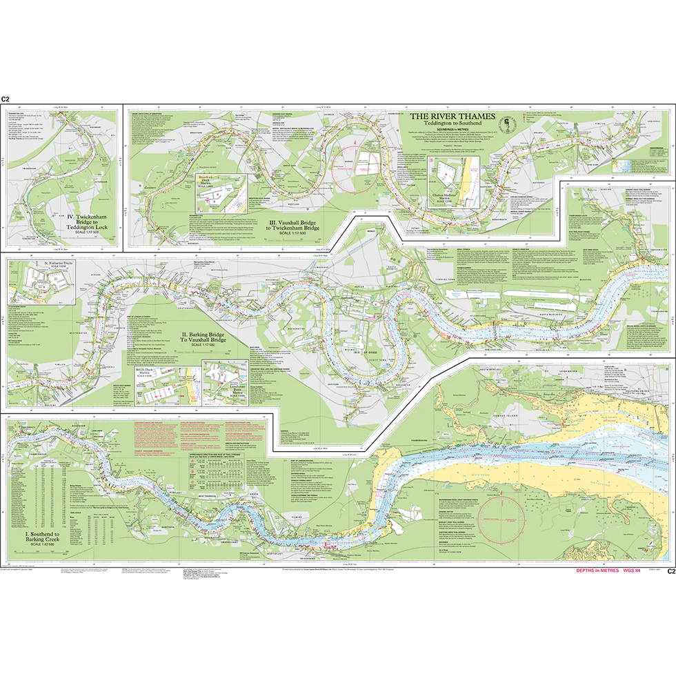
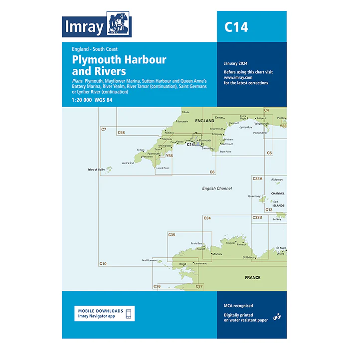
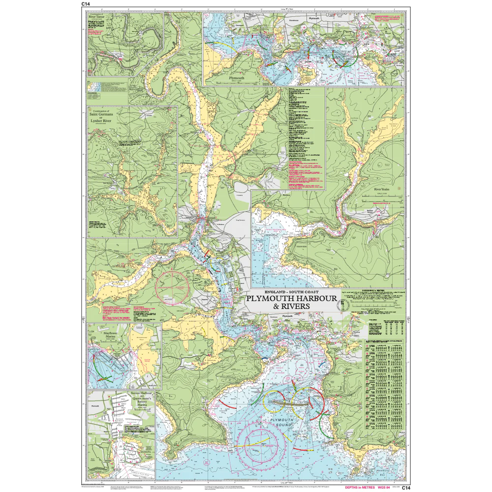
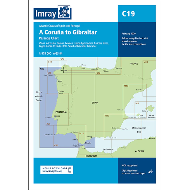
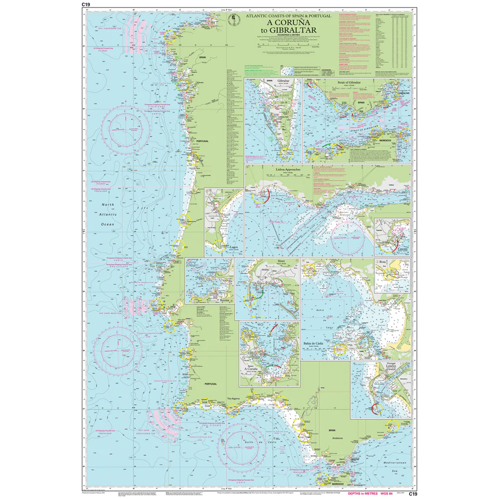
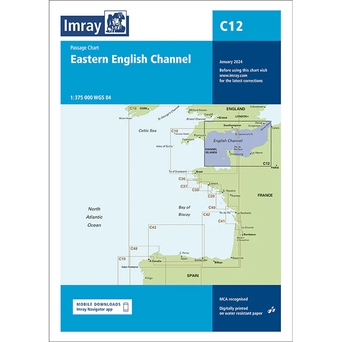
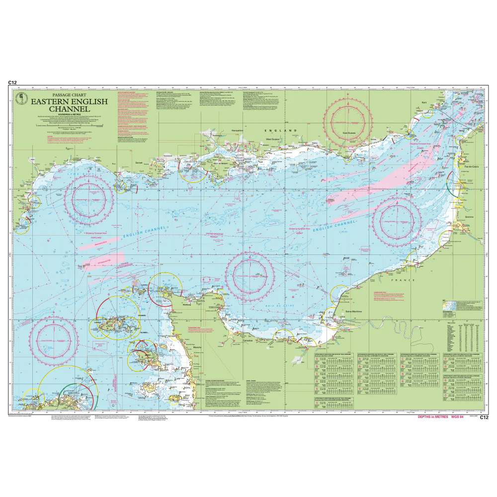
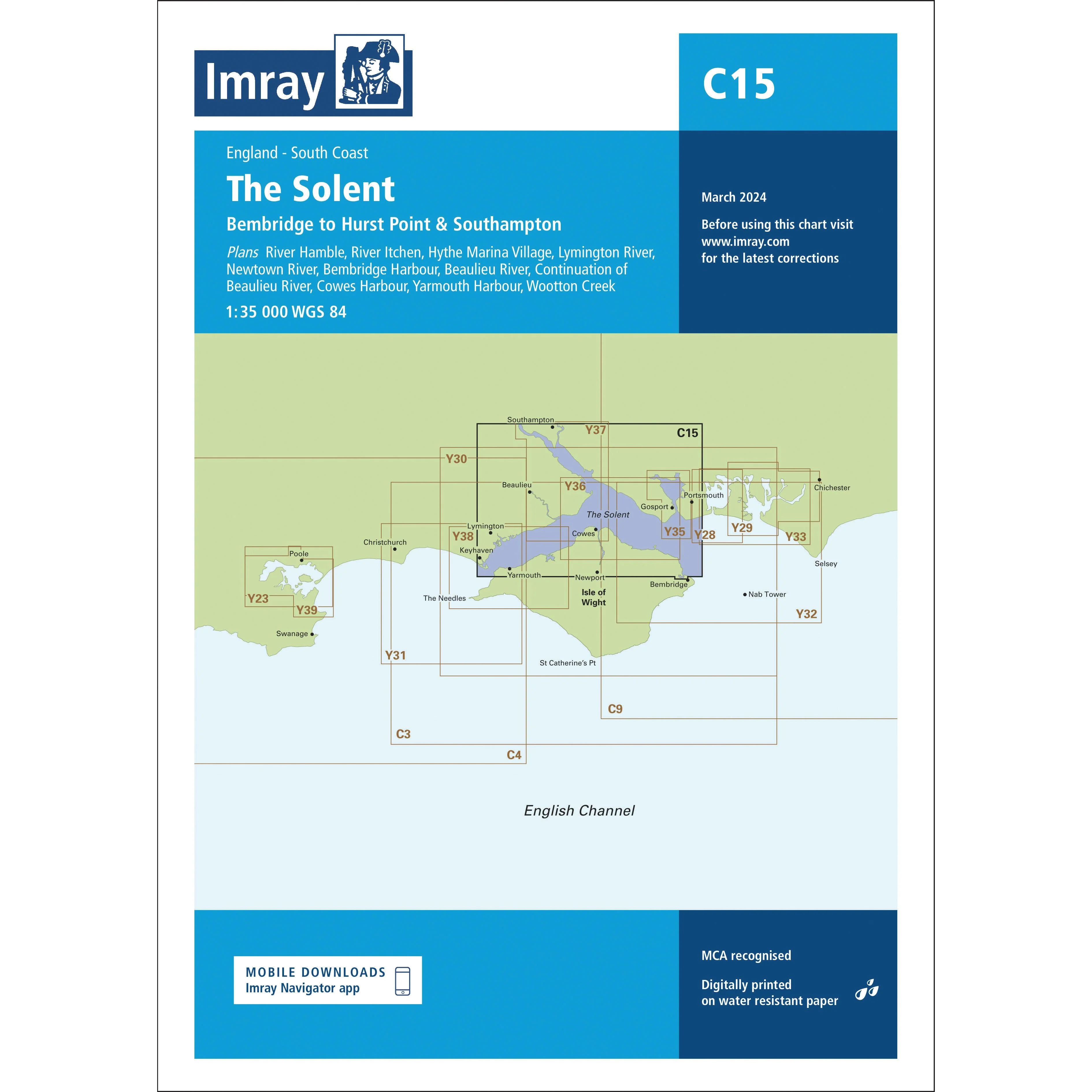
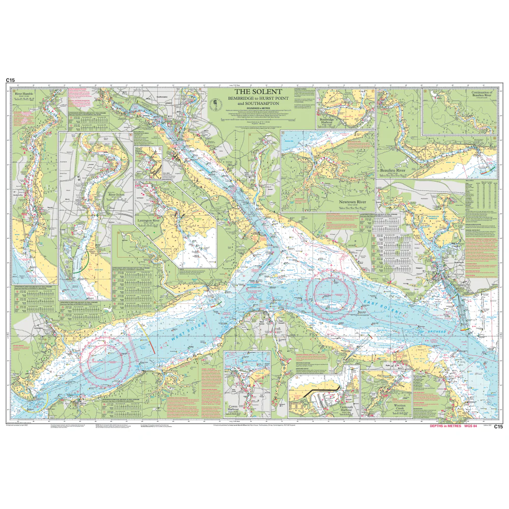
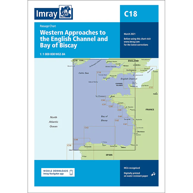
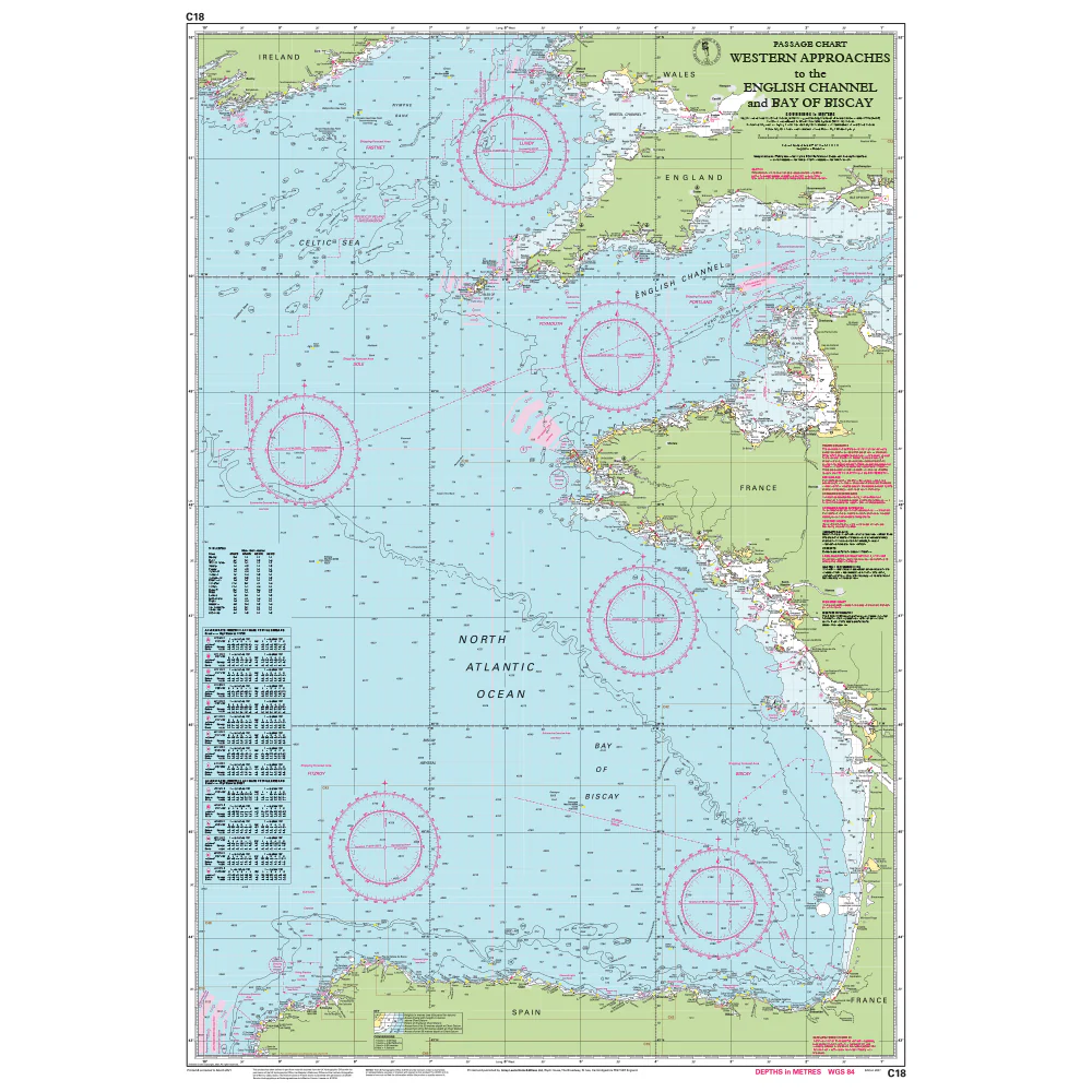
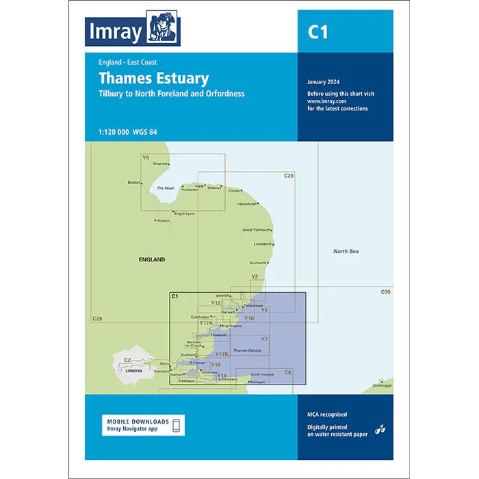
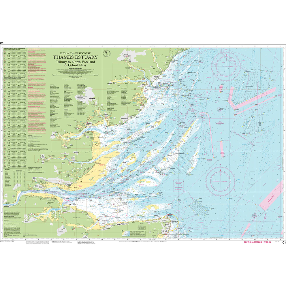
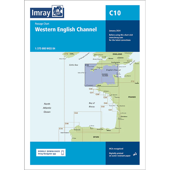
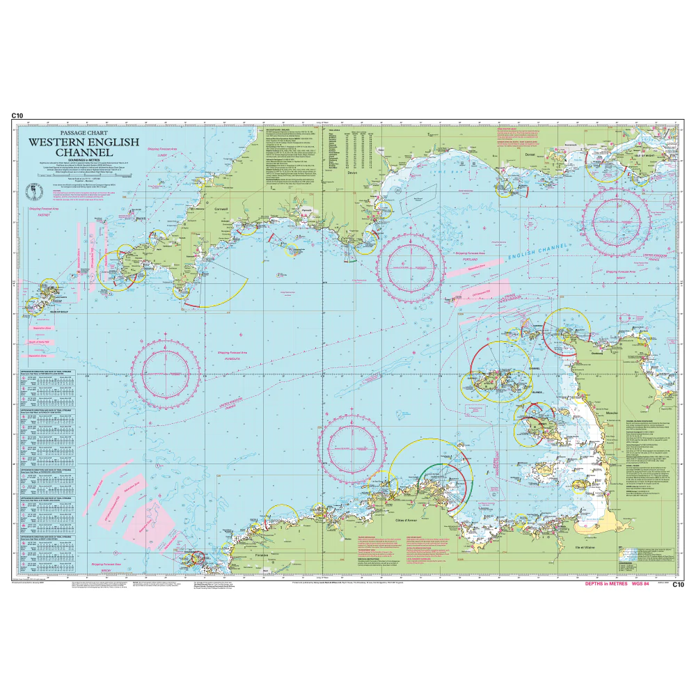
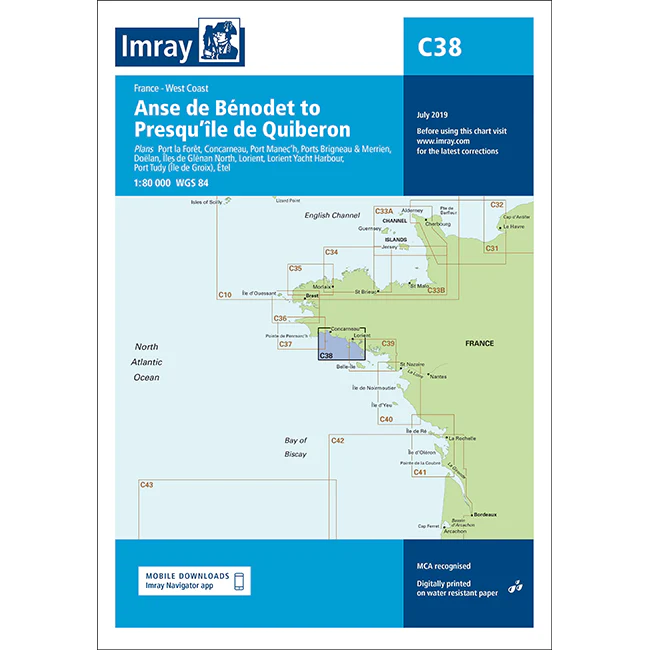
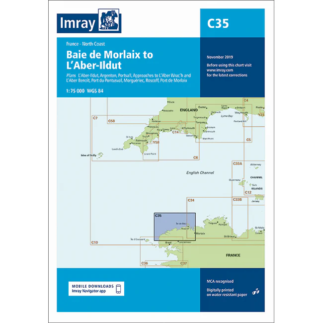
Imray C Series charts cover cruising grounds around Britain, Ireland, and Northwest Europe. They're scaled for planning and passage-making: larger than harbour charts, but detailed enough for inshore work. Each chart unfolds to 787 × 1,118 mm, giving you room to see the bigger picture without carrying dozens of sheets. They're printed digitally on Pretex, a synthetic paper that tolerates salt spray and damp conditions. Charts are supplied folded to A4 and packed in a durable plastic wallet. If you need unfolded charts, just get in touch. We can arrange that with a 7-10 day lead time.
These are working charts for anyone who navigates seriously: cruising crews, motor boaters, fishing vessels, and commercial operators alike. Imray C Series charts are recognised by the Maritime and Coastguard Agency for use on coded and fishing vessels up to 24 metres. Whether you're plotting a coastal passage, planning next season's cruise, or keeping current charts to hand, C charts give you what you need at a practical scale. Imray publishes other chart ranges for different waters: M Series for the Mediterranean, G for Greek waters, Y for UK harbours and estuaries, A, B, D and E (Imray-Iolaire) for the Atlantic and Caribbean, plus chart packs covering key cruising areas.
About Imray
Imray has been publishing nautical information for recreational and professional mariners since the mid-18th century. Originally a family business, the company retains continuity through generations of maritime knowledge. Today, Imray is part of FB Imray, a joint venture with freytag & berndt (Austrian cartographic specialists). This has allowed them to combine traditional expertise with modern production methods.
Imray is recognised by the Maritime and Coastguard Agency as a chart producer. Their portfolio extends beyond paper charts to include pilot books, cruising guides, almanacs, and navigation handbooks.
Original: $38.73
-70%$38.73
$11.62More Images
Imray Chart C36: Île d’Ouessant to Raz de Seine
Plans included
- Baie de Lampaul (Ouessant) (1 : 30,000)
- Port du Conquet (1 : 20,000)
- Port de Brest & Marina du Moulin Blanc (1 : 30,000)
- Marina du Moulin Blanc (1 : 9,000)
- L’Elorn – Continuation to Landerneau (1 : 80,000)
- Port de Camaret-sur-Mer (1 : 12,500)
- Port de Morgat (1 : 15,000)
- Port de Douarnenez (1 : 15,000)
On this edition the chart specification has been improved to show coloured light flashes. Depths have been updated from the latest available surveys. There has been general updating throughout.
About Imray C Series Charts
Imray C Series charts cover cruising grounds around Britain, Ireland, and Northwest Europe. They're scaled for planning and passage-making: larger than harbour charts, but detailed enough for inshore work. Each chart unfolds to 787 × 1,118 mm, giving you room to see the bigger picture without carrying dozens of sheets. They're printed digitally on Pretex, a synthetic paper that tolerates salt spray and damp conditions. Charts are supplied folded to A4 and packed in a durable plastic wallet. If you need unfolded charts, just get in touch. We can arrange that with a 7-10 day lead time.
These are working charts for anyone who navigates seriously: cruising crews, motor boaters, fishing vessels, and commercial operators alike. Imray C Series charts are recognised by the Maritime and Coastguard Agency for use on coded and fishing vessels up to 24 metres. Whether you're plotting a coastal passage, planning next season's cruise, or keeping current charts to hand, C charts give you what you need at a practical scale. Imray publishes other chart ranges for different waters: M Series for the Mediterranean, G for Greek waters, Y for UK harbours and estuaries, A, B, D and E (Imray-Iolaire) for the Atlantic and Caribbean, plus chart packs covering key cruising areas.
About Imray
Imray has been publishing nautical information for recreational and professional mariners since the mid-18th century. Originally a family business, the company retains continuity through generations of maritime knowledge. Today, Imray is part of FB Imray, a joint venture with freytag & berndt (Austrian cartographic specialists). This has allowed them to combine traditional expertise with modern production methods.
Imray is recognised by the Maritime and Coastguard Agency as a chart producer. Their portfolio extends beyond paper charts to include pilot books, cruising guides, almanacs, and navigation handbooks.
Product Information
Product Information
Shipping & Returns
Shipping & Returns
Description
Plans included
- Baie de Lampaul (Ouessant) (1 : 30,000)
- Port du Conquet (1 : 20,000)
- Port de Brest & Marina du Moulin Blanc (1 : 30,000)
- Marina du Moulin Blanc (1 : 9,000)
- L’Elorn – Continuation to Landerneau (1 : 80,000)
- Port de Camaret-sur-Mer (1 : 12,500)
- Port de Morgat (1 : 15,000)
- Port de Douarnenez (1 : 15,000)
On this edition the chart specification has been improved to show coloured light flashes. Depths have been updated from the latest available surveys. There has been general updating throughout.
About Imray C Series Charts
Imray C Series charts cover cruising grounds around Britain, Ireland, and Northwest Europe. They're scaled for planning and passage-making: larger than harbour charts, but detailed enough for inshore work. Each chart unfolds to 787 × 1,118 mm, giving you room to see the bigger picture without carrying dozens of sheets. They're printed digitally on Pretex, a synthetic paper that tolerates salt spray and damp conditions. Charts are supplied folded to A4 and packed in a durable plastic wallet. If you need unfolded charts, just get in touch. We can arrange that with a 7-10 day lead time.
These are working charts for anyone who navigates seriously: cruising crews, motor boaters, fishing vessels, and commercial operators alike. Imray C Series charts are recognised by the Maritime and Coastguard Agency for use on coded and fishing vessels up to 24 metres. Whether you're plotting a coastal passage, planning next season's cruise, or keeping current charts to hand, C charts give you what you need at a practical scale. Imray publishes other chart ranges for different waters: M Series for the Mediterranean, G for Greek waters, Y for UK harbours and estuaries, A, B, D and E (Imray-Iolaire) for the Atlantic and Caribbean, plus chart packs covering key cruising areas.
About Imray
Imray has been publishing nautical information for recreational and professional mariners since the mid-18th century. Originally a family business, the company retains continuity through generations of maritime knowledge. Today, Imray is part of FB Imray, a joint venture with freytag & berndt (Austrian cartographic specialists). This has allowed them to combine traditional expertise with modern production methods.
Imray is recognised by the Maritime and Coastguard Agency as a chart producer. Their portfolio extends beyond paper charts to include pilot books, cruising guides, almanacs, and navigation handbooks.